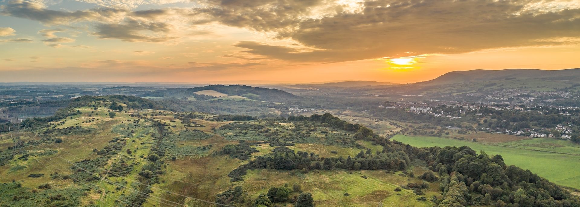
Croy Hill
On a high plateau on the east side of Croy Hill is the site of a Roman fort and fortlet.
Visiting Croy Hill
Facilities at or near this site
Parking
Local cafe
Sculpture
Playpark
Accessibility
The site is approximately 0.5 miles from either car park following unpaved farm tracks or gravel paths. The ground is uneven, rocky and steep in some places.
More information
Learn more about the local area on the council’s website.
Find out more about visiting here at Visit Scotland.
History
The rampart of the Antonine Wall on Croy Hill was determined by the local topography. You can see where the Romans had to cut through solid rock to create the ditch. Like elsewhere on the wall, the fort and fortlet on the hill used the rampart and ditch as its northern defenses. Two small, raised platforms were located to the west of the fortlet which may have been used for signaling.
Croy Hill’s high position offers one of the best views of the surrounding landscape, including the Firth of Forth and hills of Fife to the east, the Kilsyth Hills to the north, and the next fort at Bar Hill to the west.

© Rediscovering the Antonine Wall Project.
What can I see today?
The fort, fortlet, and temporary camp are not visible on the ground today, but the Antonine Wall ditch and two expansion platforms are easily identifiable across much of Croy Hill.
To the east of Croy Hill at Nethercroy, you can see a recently installed replica distance stone and Roman head sculpture called Silvanus.
Reconstruction of Croy Hill Camp.
What was found there?
Very few artefacts were recovered from Croy Hill but finds do include inscribed and sculpted stones, an altar, ballista balls, pottery fragments and a bronze arm purse.
Metal arm ‘purse’, Croy Hil
Fragment of a face decoration from a jar, Croy Hill
Where can I learn more?
Find out more about the discovery and investigation of Croy Hill fort.
Explore 3D models of artefacts discovered on the Antonine Wall.
Discover how the Antonine Wall was constructed over 2,000 years ago.
